

Mapping the world
The main advantages of LiDAR are accuracy of measurements, fast data capture, object detection using high automation. It can be used to generate detailed topographic maps and retrieve digital elevation data in for of DTM, DSM or contours.
LiDAR can be used in disaster response as quick mapping and visualization or detecting the faults. The captured data can also be used in the risk assessment of related hazards.
Planning and construction of buildings, roads, earthwork projects, and mining requires information of volumes and masses of soil. Laser scanning is a fast, accurate and cost-effective way to gather geo-referenced 3D information of the shape of the ground. LiDAR data can be acquired by scanning from an airplane or a helicopter or even from an unmanned aerial vehicle (UAV), or by a static terrestrial scanner standing on a tripod.
Applications
Visualizing the shape and elevation differences of the earth’s surface | Modeling the flow of water or movement of masses (landslides or avalanches) | Engineering and infrastructure design | Geomorphology and physical geography | In archaeology to detect buildings, roads, aqueducts, caves, fences, etc. | Gravimetric measurements | Visualizing the earth’s surface in cartography | 3D mapping and modeling | 3D flight planning and flight simulation | Line-of-sight-analysis | Noise modeling | Signal strength modeling | Precision farming and forestry | Intelligent transportation systems (ITS) and Advanced Driver Assistance Systems (ADAS) | Building Digital Elevation Models and Digital Surface Models or create contours and elevation points
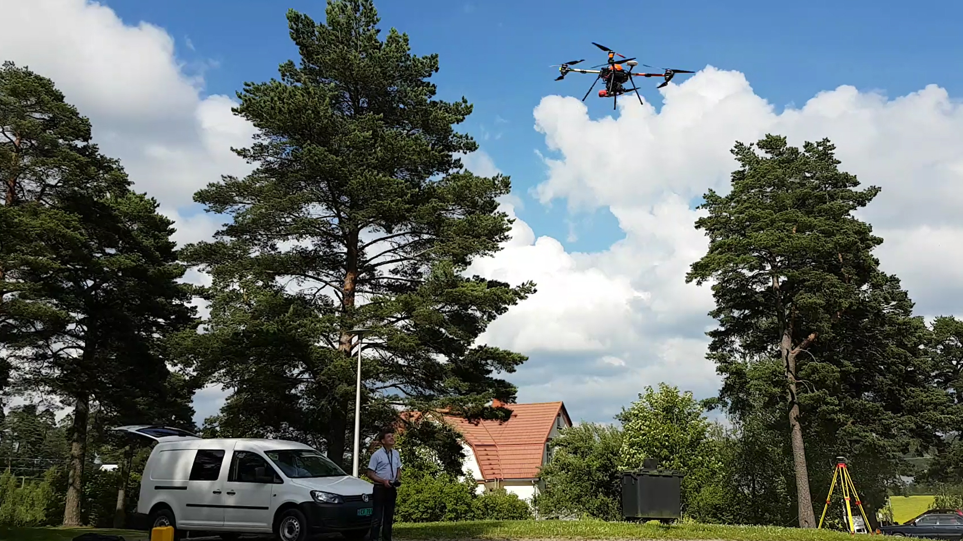
UAV
Drones with different type of sensors provide good mapping capabilities in small projects

ALS
To map large areas aircraft based mapping system is a must. Image courtesy of Diamond Aircraft Industries GmbH - www.diamond-air.at
Mobile Mapping Systems
In the early summer of 2011 Terrasolid Ltd. performed a LiDAR survey of the City of Helsinki Tram Network. Helsinki Tram Company had three objectives for the project. Firstly, they wanted to get 5 cm accurate track geometry and other asset information to populate the maintenance management system theyre now piloting. The second objective was to get accurate curbs and the stops so that they could simulate how the 40 newly purchased trams would turn as they have a slightly different wheelbase, forward and rear overhang and ground clearance. The third objective was to find out how much high asphalt there is next to the rails as they had a project to change to wider wheels on the trams to improve the durability and lessen then noise in the turns. Read more about the project from https://lidarmag.com/2012/06/02/helsinki-tram-survey-project/
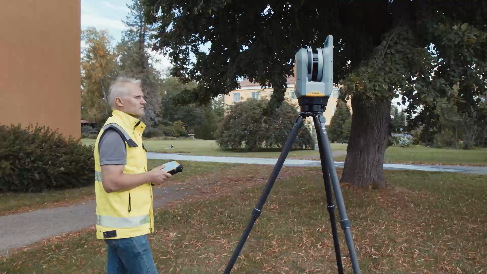
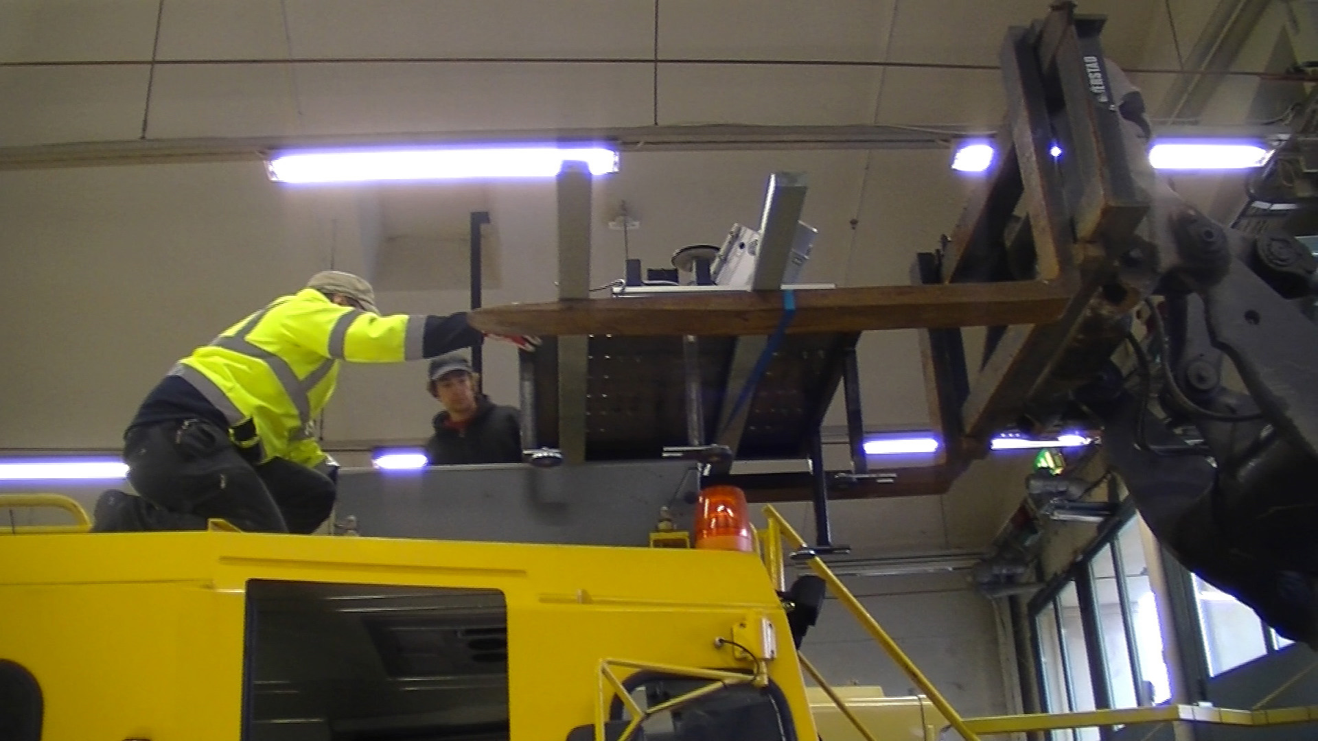
Terrestrial

Mobile Mapping Systems
Mapping solutions
Interested in mapping solutions regarding planning and construction? Contact our sales with the form. We are happy to help and tell you more about our mapping solutions.