

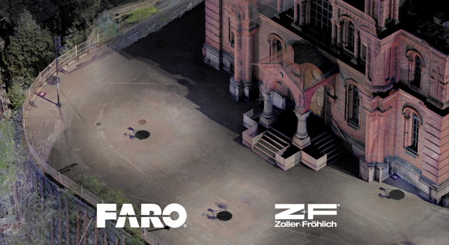
Data Fusion at Uspenski Cathedral in Helsinki: Merging TLS and MLS into One Production-Ready Point Cloud
Data Fusion at Uspenski Cathedral in Helsinki: Merging TLS and MLS into One…

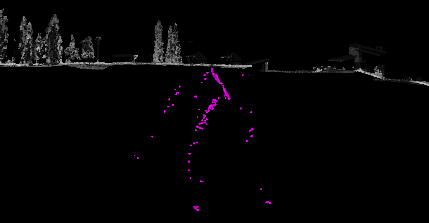
Clean noise point clusters using separation distance metric
TerraScan version 023.031 introduced distance computation metric Separation.…

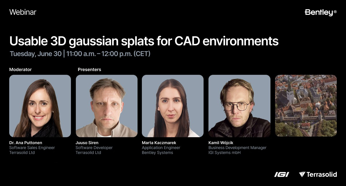
Usable Gaussian Splats for CAD Environment: A Complete Workflow with IGI, Bentley iTwin Capture Modeler Flex, and Terrasolid
Usable Gaussian Splats for CAD Environment: A Complete Workflow with IGI,…
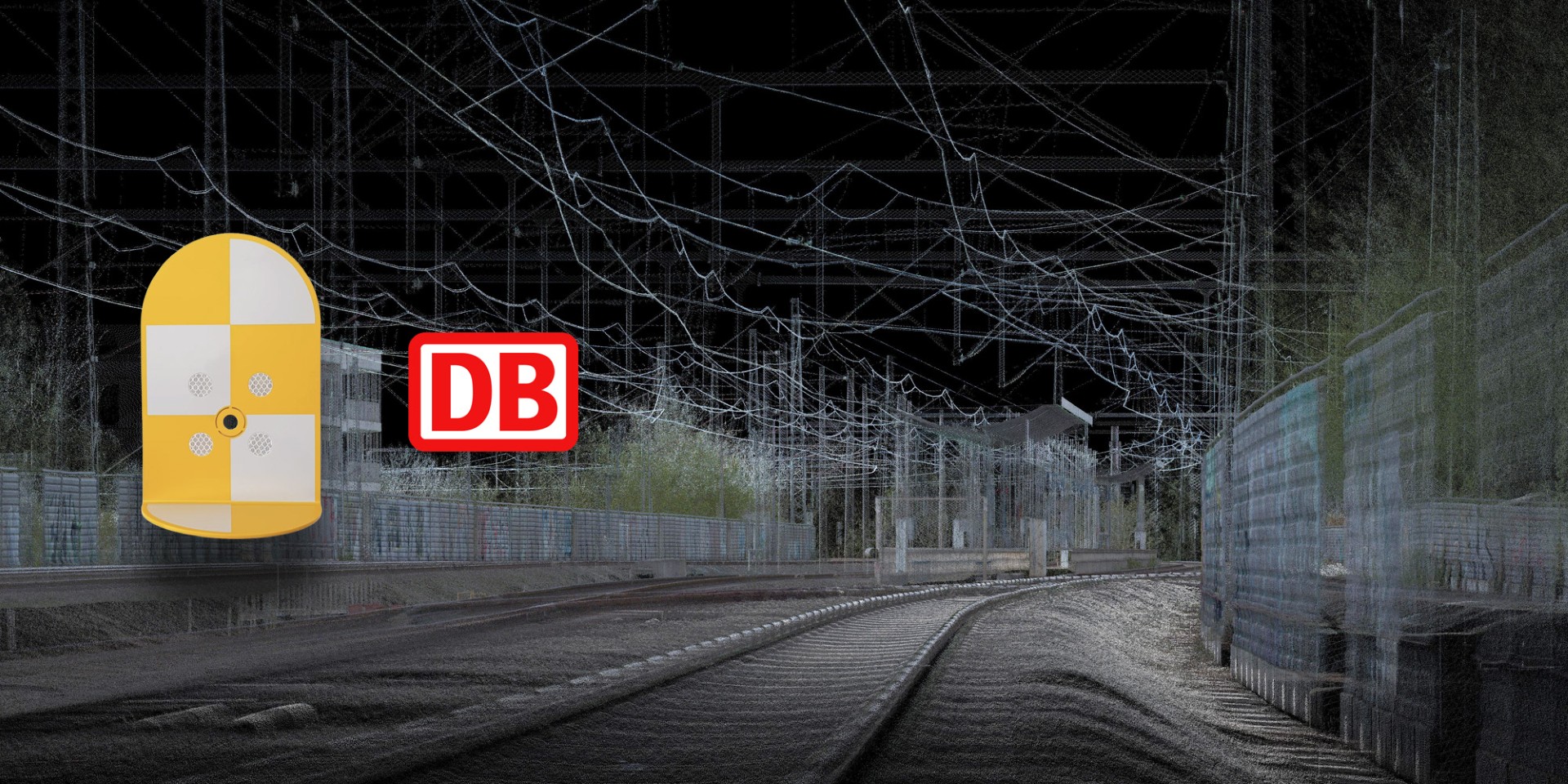
Support for Deutsche Bahn Signals in TerraMatch from version 026.004
Support for Deutsche Bahn Signals in TerraMatch from version 026.004TerraMatch…
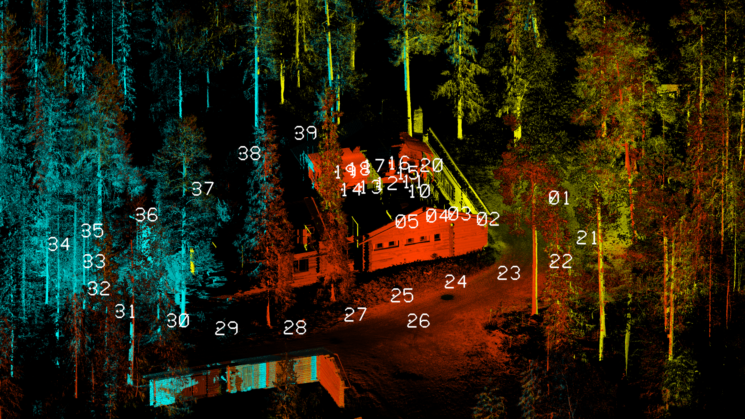
Introducing Multi-Scan Project Support for Stationary LiDAR Data
TerraScan 026.016 introduced a completely new way to utilize project…

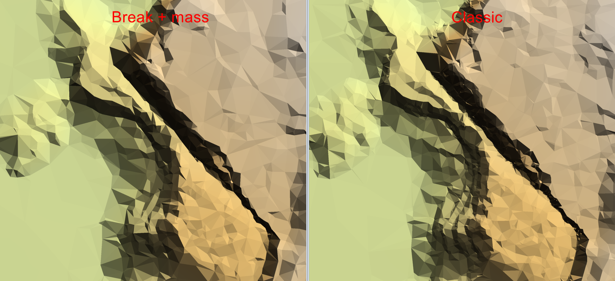
Create a Digital Terrain Model with a new algorithm for Model Keypoint Classification
TerraScan version 025.018 introduced a new algorithm for classifying model…
Full E57 file format support in TerraScan and TerraPhoto
TerraScan version 026.003 introduces full support for E57 file format. E57…
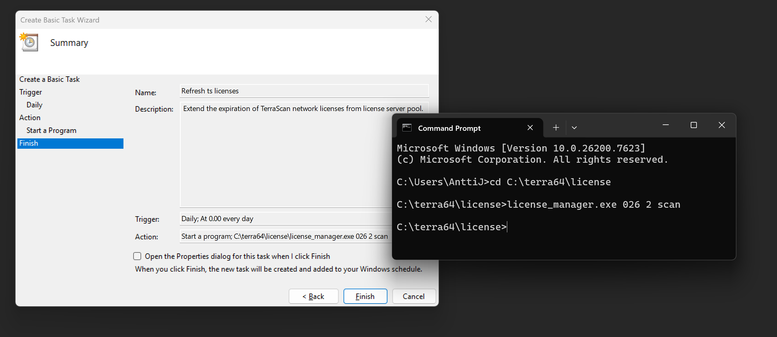
Automation tips for Terrasolid Network licensing
From a technical perspective, Terrasolid software licenses are available in two…

Streamline Workflows on Spatix CAD platform
Streamline your workflows and personalize your experience with Terrasolid…

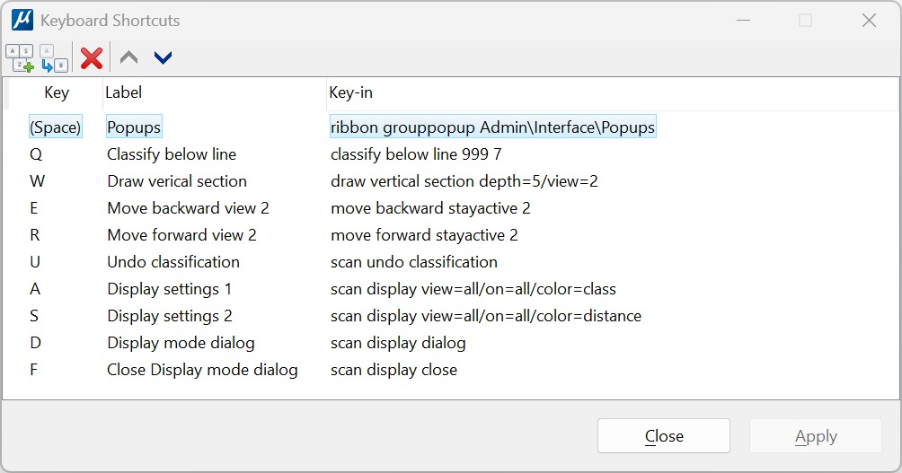
Streamline Workflows on Bentley CAD platforms
Streamline your workflows and personalize your experience with Terrasolid…