

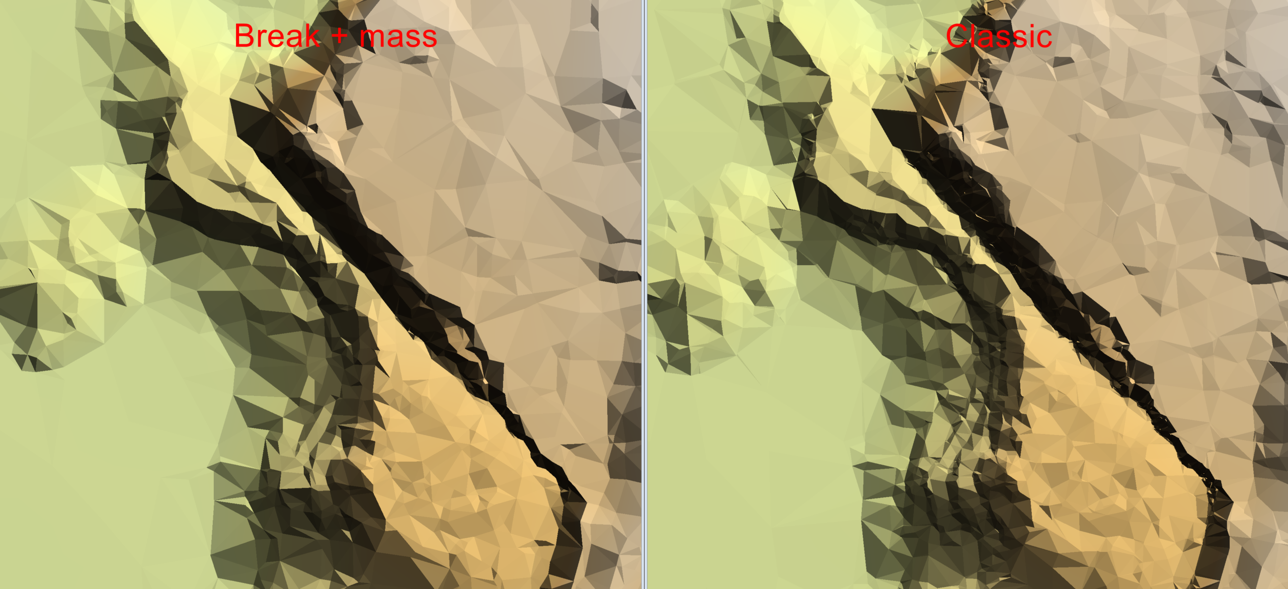
Create a Digital Terrain Model with a new algorithm for Model Keypoint Classification
TerraScan version 025.018 introduced a new algorithm for classifying model…
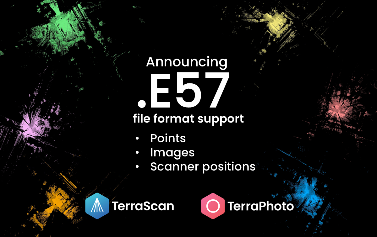
Full E57 file format support in TerraScan and TerraPhoto
TerraScan version 026.003 introduces full support for E57 file format. E57…
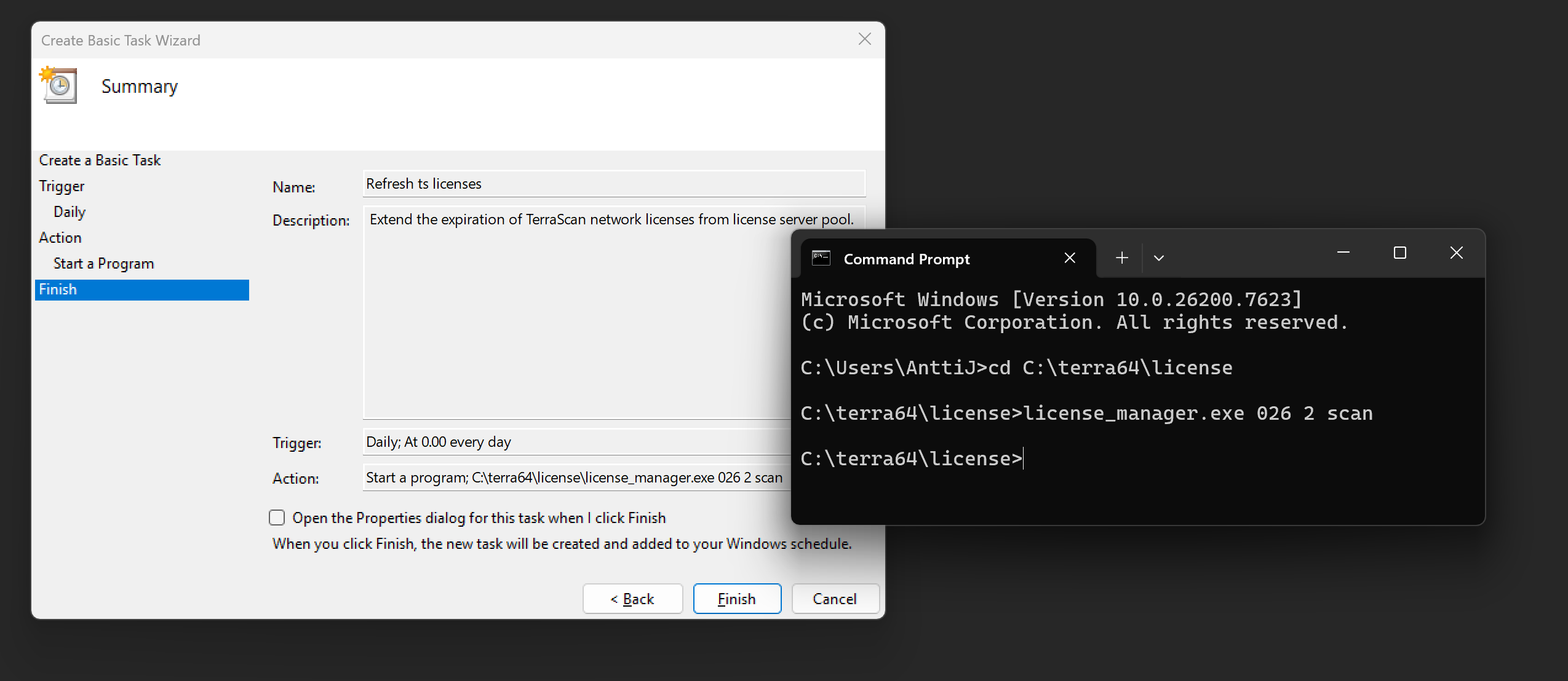
Automation tips for Terrasolid Network licensing
From a technical perspective, Terrasolid software licenses are available in two…

Streamline Workflows on Spatix CAD platform
Streamline your workflows and personalize your experience with Terrasolid…
Streamline Workflows on Bentley CAD platforms
Streamline your workflows and personalize your experience with Terrasolid…

Unlock the Power of Extra Attributes with TerraScan
Unlock the Power of Extra Attributes with TerraScanPoint clouds can be…

MOU (Memorandum of Understanding) Signed with Dynamic Map Platform Co., Ltd.~ Enhancing decision-making processes and enabling efficient management using Point Cloud data and HD Maps
MOU (Memorandum of Understanding) Signed with Dynamic Map Platform Co., Ltd.~…

Swath Separation Images with TerraScan
TerraScan 024.020 introduces the Distance + intensity coloring option for…

