

Terrasolid UAV
The Terrasolid UAV is designed to offer top flexibility for different applications over complex and changing environments, preserving the highest quality standards of your LiDAR hardware. TerraScan UAV comes with Wizard to be used to create a project for UAV-based datasets and to process UAV point clouds in an automated way.
Terrasolid UAV applications to match your needs
TerraScan UAV includes completely new highly automatized Wizard for processing UAV LiDAR Surveying system data. Adding TerraMatch UAV to your Bundle the Wizard will also allow you to mitigate mismatches between overlapping flight paths.
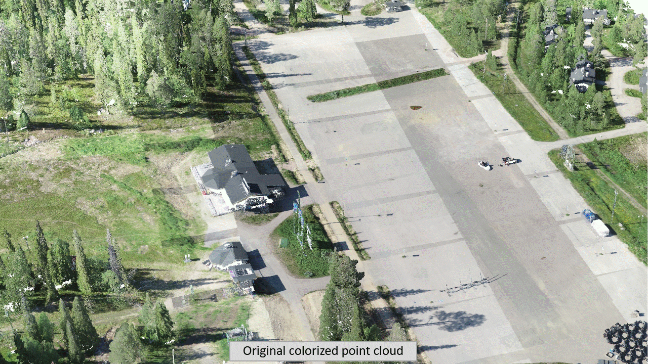
TerraScan is known to all professionals working with LiDAR data. It is a real multipurpose tool enabling our customers work in both producing the data and getting deliverables for different industries. Deliverables include high quality classified point cloud data or vector data to be used in various engineering and maintenance applications. The UAV version of TerraScan includes everything you need to process your point cloud data.
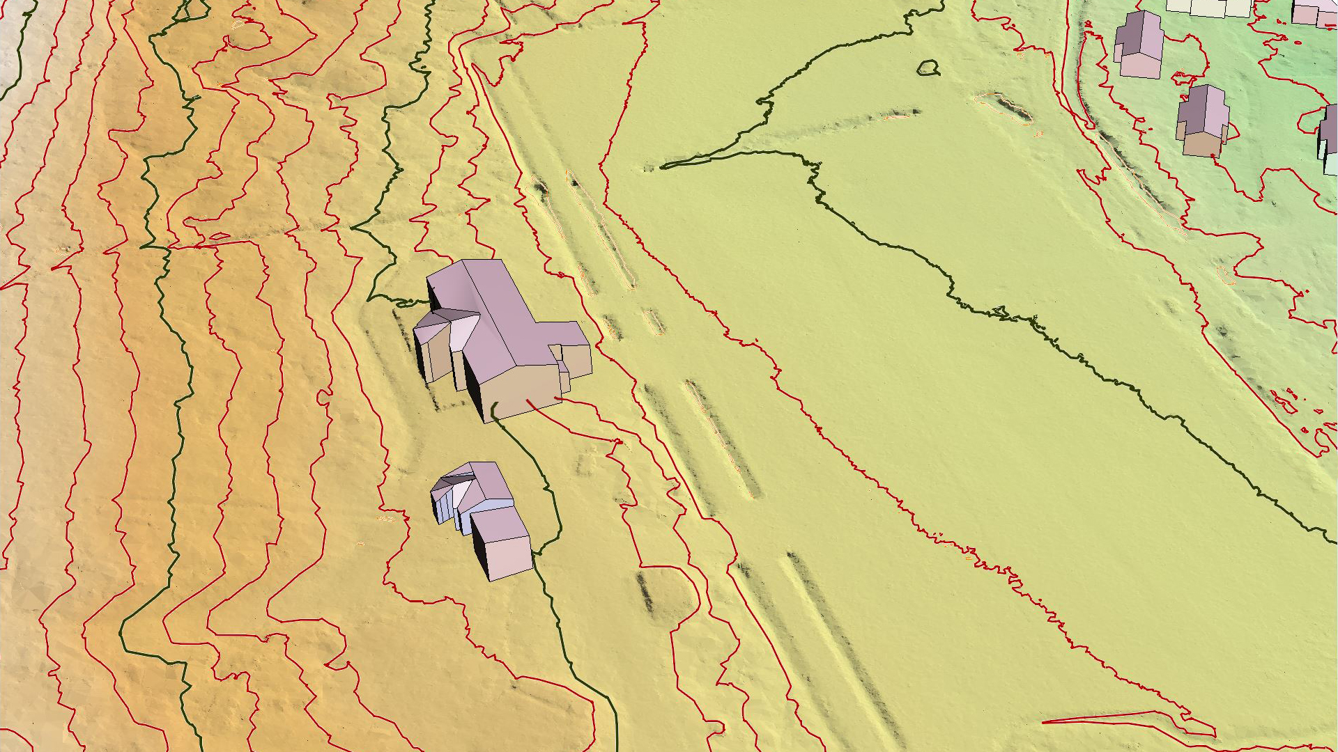
TerraModeler UAV can create, edit, and visualize terrain and surface models (DTM, DSM). TerraModeler creates surface models from points in TerraScan UAV. The software offers versatile visualization options including colored shaded surfaces, contour lines, grids, profiles, colored triangle nets, elevation texts, slope directions and textured ground surfaces (in combination with TerraPhoto UAV). Completed with various export options, TerraModeler UAV is a versatile tool for many kinds of design and modeling tasks.
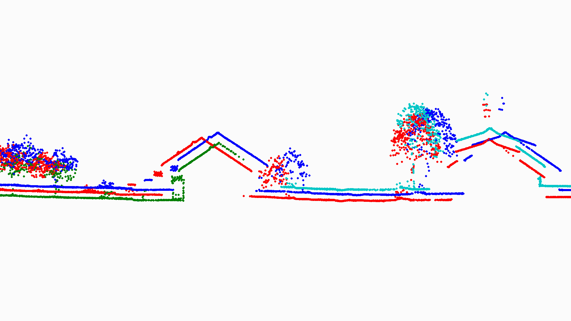
TerraMatch UAV is a sophisticated tool for improving the accuracy and quality of the raw laser point cloud. It compares laser data from overlapping flight paths and calculates correction values for the misalignment angles as well as xyz location errors. TerraScan Wizard includes Match passes step which mitigates mismatches between overlapping flight paths, improving internal accuracy of the point cloud. The step applies feature-to-feature matching -approach, searching for tie lines, correspondence observations between strips and minimizing the mismatch between observations.
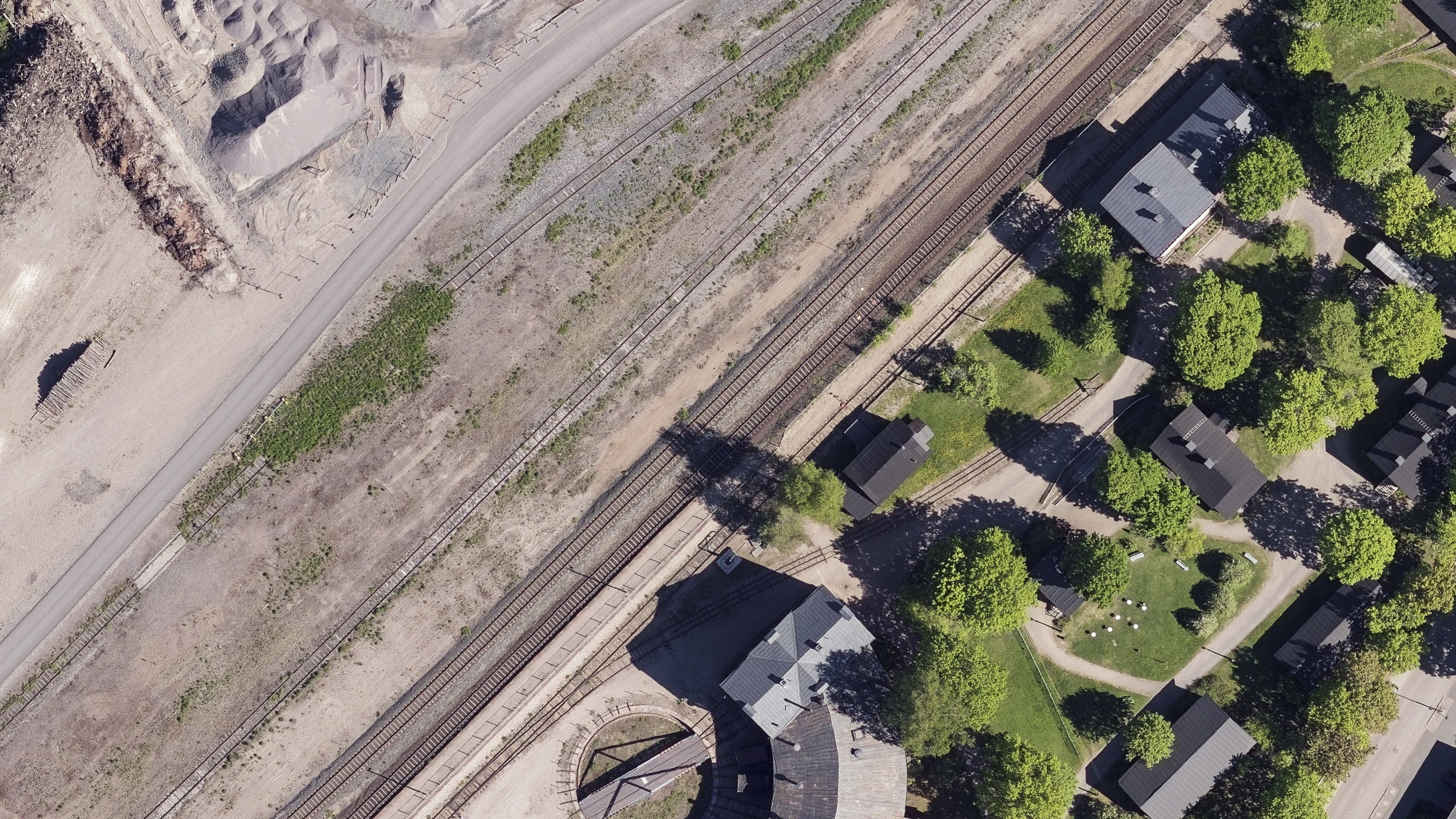
TerraPhoto UAV is developed for processing images captured together with laser data during a survey mission. The software enables the production of rectified images and ortho mosaics based on ground model that has been extracted from the laser data. The positioning of the source images can be refined by using tie points for image-to-image adjustment while ground control point can be involved for improving the absolute accuracy of the image block. With additional functionality, such as color adjustment options, the creation of selection shapes for several object types or areas (e.g. buildings, water), the inclusion of vector models for true-ortho photo production, TerraPhoto lets you create ortho photos of good positional and color-coordinated quality.
To start leaning how to use Terrasolid applications please view our Basic and UAV training paths
Purchase options and pricing
We have three different purchasing options for perpetual, subscription and academic licenses.
Download Terrasolid UAV Bundle
To download Terrasolid UAV applications please go to our Software Download center.
Technical description
You can read more about the specifications and technical description for each Terrasolid product from User Guides if you want to have a more comprehensive understanding of our individual products. Each User Guide include also comparison matrix showing the differences between Full, Lite and UAV versions.
Fill the form and get a quote!
Our sales team will contact you.