

TerraScan User Guide
View Laser toolbox
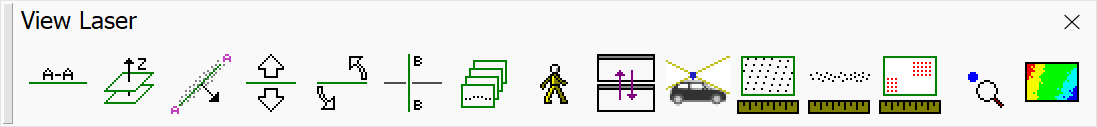
The tools in the View Laser toolbox are used to create and modify section views, create views along a path, create and move in perspective views, open Street View© images, measure point density, and to update distance coloring.
TO |
USE TOOL |
|
|---|---|---|
Rotate view to show vertical cross section |
|
|
Rotate view to show horizontal cross section |
|
|
Show points on a plane in a section view |
|
|
Move forward or backward in section view |
|
|
Rotate a section view around its center |
|
|
Cut perpendicular section from section view |
|
|
Travel along path and display views or save as pictures |
|
|
Setup and move in perspective view |
|
|
Define automatic synchronization of views |
|
|
Open a Street View© image in a browser |
|
|
Measure point density |
|
|
Measure point-to-point noise |
|
|
Measure coverage |
|
|
Check and label point attributes |
|
|
Recompute distance colors and update views |
|
|


