

TerraScan User Guide
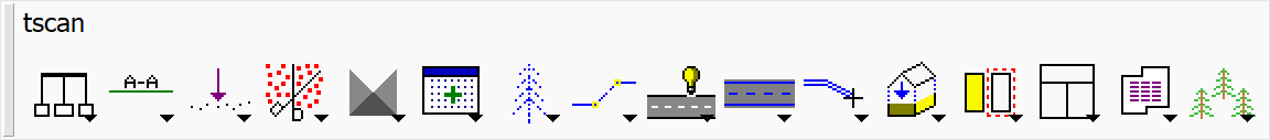
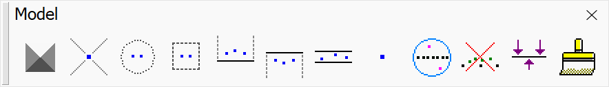
TerraScan Toolbox

TerraScan toolbox - Full version
TerraScan toolbox - Lite version

TerraScan toolbox - UAV version
TerraScan Toolbox is a collection of toolbars that contain TerraScan tools. It opens automatically when TerraScan starts, if the Open Main tool box option in the Operation category in TerraScan Settings is enabled. Instructions on how to open toolbars are here.
Terrascan Toolbars
|
|
|
|
|
|
|
|
|
|
|
|
|
|
|
|
|
|
|
|
|
|
|
|
|
|
|
|
|
|
|
|
|
|
|
|
|
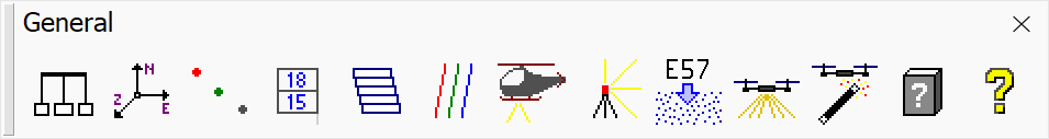
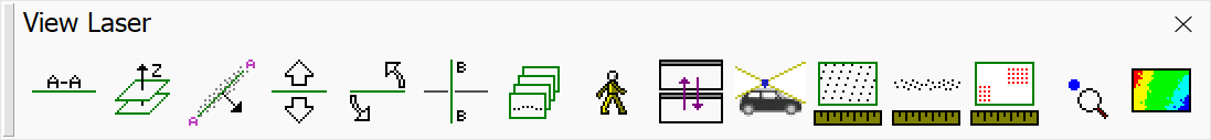


To open a toolbar in TerraScan, click and hold the toolbar icon in the TerraScan Toolbox.
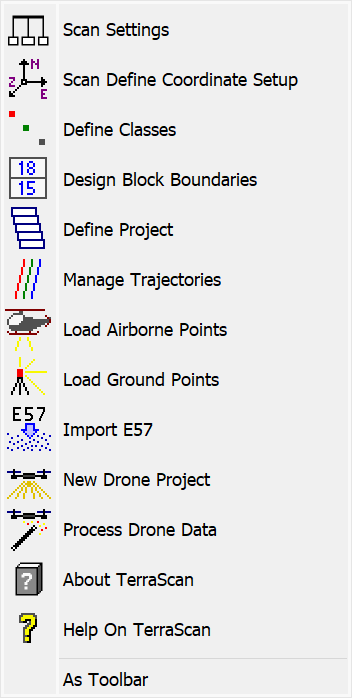
Click and hold a toolbar icon in the toolbox to view the toolbar.
Toolbars can also be opened separately by using Open as Toolbox (Bentley) or As Toolbar (Spatix) from the toolbar, or by selecting them from Toolboxes. The Toolbox and the toolbars can also be docked to the sides of the view.
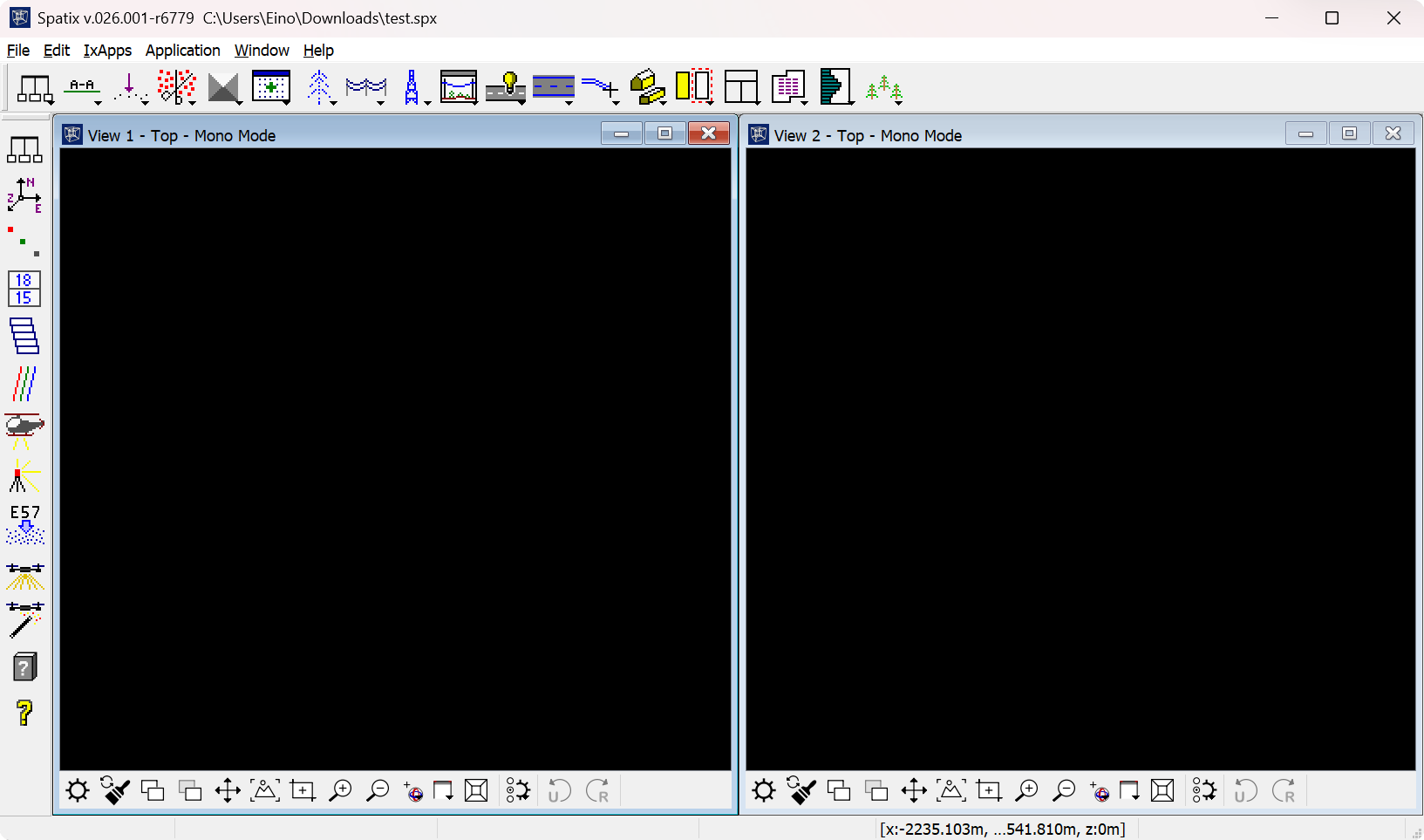
TerraScan Toolbox is docked to the top of the view and TerraScan General toolbar is docked to the left.
If the toolbox has been closed, it can be reopened from TerraScan Window → Tools → Toolboxes → Main Toolbox or by entering the key-in command . The toolbox can also be resized (in Bentley).