Please enable JavaScript to view this site.

TerraScan User Guide

Navigation: Tool Reference

TerraScan Settings

Scroll Prev Top Next More

TerraScan Settings

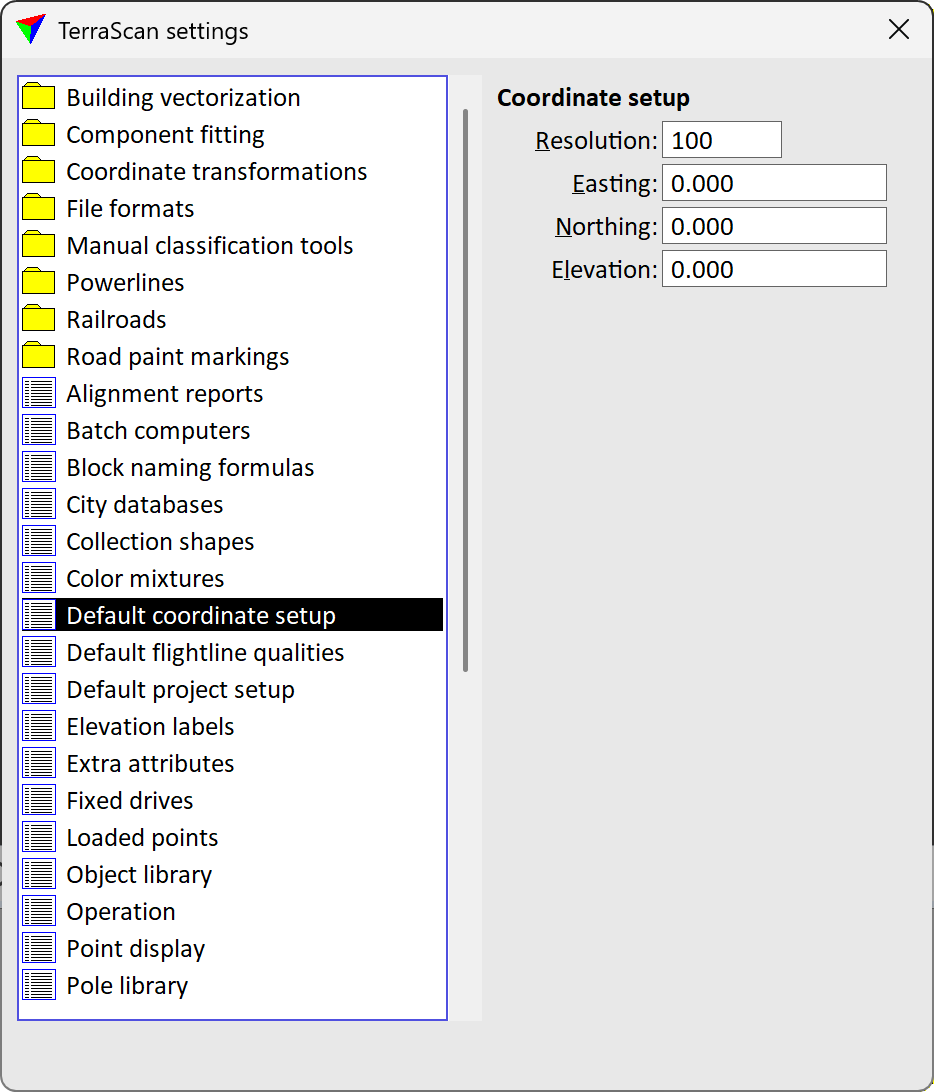
Settings control the way how tools and commands of TerraScan work. They are organized in logical categories. The Settings dialog is opened by the Settings tool.

settings

settings folder / category

Building vectorization / Editing tools

Building vectorization / Levels

Building vectorization / Model

Colors

Levels

Operation

Profile

Weights and styles

Coordinate transformations / Transformations

Coordinate transformations / User projection systems

File formats / Default storage format

File formats / File name extensions

File formats / LAS formats

File formats / LAZ formats

File formats / Leica formats

File formats / Optech formats

File formats / User point formats

File formats / User trajectory formats

Manual classification tools / Classify Above Line

Manual classification tools / Classify Below Line

Manual classification tools / Classify Close to Line

Manual classification tools / Classify Fence tool

Powerlines / Active line

Powerlines / Profile layouts

Powerlines / Tower functions

Powerlines / Tower statuses

Powerlines / Tower types

Road paint markings / Crosswalks

Road paint markings / Paint markings

TerraScan User Guide   25/06/2026   © 2026 Terrasolid Ltd