

TerraPhoto User Guide
Feature points
Feature points are computed automatically from raw images without any prior processing requirements. Feature points represent pixel locations in images defined by:
•the pixel in an image (xy as decimal values)
•direction angle (strongest brightness change direction)
•descriptor (table of numbers describing brightness changes relative to direction angle)
•scale (resolution version from which a point is derived)
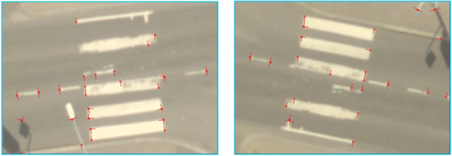
Feature points are intended to be used for aerial image data sets with GPS/IMU-derived raw positioning. Their main purpose is the adjust individual image positions and thus, reach the best possible positional accuracy for aerial images. Therefore, the feature point computation is a replacement for the automatic tie point search with the following advantages:
tie point search |
feature point search |
|---|---|
- requires a ground model |
▪ground model is optional, may make the operator's work easier |
- requires shadow maps |
▪benefits from depths maps |
- tie points on ground only |
+ tie points on ground, but also on building roofs, in vegetation, etc. |
- may take a long time if not many tie points are found |
+ systematic processing time (same processing time for each image), process can run in TerraBatch |
The workflow for integrating feature points in the image adjustment process can be outlined as follows:
1. Run Compute feature points command.
•can run based on raw images – no mission setup needed
•runs in TerraBatch
•creates one output file for each raw image with the extension .FPT (in the temporary files directory of the mission)
2. Setup a mission.
3. Collect some tie points and solve/check misalignment angles.
4. (Optional) Run Compute depth maps.
•support the conversion of feature points into tie points
•computed based on a point cloud and store depth information for each image pixel
•creates one output file for each raw image with the extension .DPM (in the temporary files directory of the mission)
5. Import feature points in order to convert them into tie points.
6. Check and validate the tie points. The process is described in Section Adjust relative image positions.