

TerraScan User Guide
Merge from GPS and INS
Merge from GPS and INS command creates a trajectory binary file for TerraScan from separate GPS and INS files. The GPS file contains time stamps and coordinates for the trajectory positions, while the INS file includes time stamps and attitude angle values for the same trajectory positions. The software combines the two input files using the time stamps.
The GPS and INS files are usually text files. The format of the files can be defined in File formats / User trajectory formats of TerraScan Settings.
To create a trajectory from GPS and INS files:
1. Select Merge from GPS and INS command from the File pulldown menu.
This opens the GPS positions files dialog, a standard dialog for opening files.
2. Open the file that contains the positional information.
This opens the INS attitude files dialog, a standard dialog for opening files.
3. Open the file that contains the attitude information.
The Import Trajectories dialog opens.
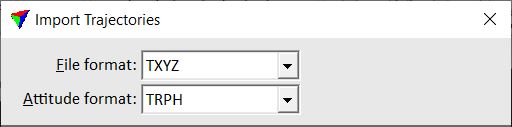
4. Check the File format and Attitude format. The software tries to determine the format of the GPS and INS files automatically.
If necessary, select the correct format from the selection lists.
For all other settings of the dialog, see Import files for a description.
5. Define settings and click OK.
The software combines the two input files and creates the binary trajectory file in the active trajectory directory.