

TerraScan User Guide
Define Project
Not UAV
 Define Project tool opens the TerraScan Project window. The window displays the active project and contains menu commands for handling TerraScan projects.
The main benefits of organizing point cloud data in a project are:
•The project definition divides a large data set into smaller parts which are easy to manage. Each part should contain an amount of points that can be loaded into memory and still allow processing of the points.
•When points are imported into a project, the application automatically divides the large point cloud into geographical regions (called ‘blocks’ in TerraScan’s terminology). This is required because raw laser data is often provided in line order while some classification routines and other processing steps rely on geographical regions.
•You can run macros that process the data of all or selected blocks of a project. You can also start other processing routines from the Project window. This is essential for the automated processing of large point cloud data sets.
•TerraScan projects can be directly used in TerraStereo, Terrasolid’s software for advanced visualization of huge point clouds in mono and stereo mode.
To view the active project:
1. Select the Define Project tool.
The Project window opens:
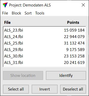
If there is an active project in TerraScan, the title bar of the window displays the name of the project. Further, the window shows the list of blocks that belong to the project. For each block, the name and the amount of points in the file are displayed.
The menu commands of the Project window are described in detail in Chapter Working with Projects.