

TerraScan User Guide
Output control report
Not UAV
Output control report command creates a report of elevation differences between laser points and ground control points or a surface model. This can be used, for example, to check the elevation accuracy of a laser data set and to calculate a correction value for improving the elevation accuracy of the laser points. Interpretation and usage of the resulting report is described in section Coordinate transformations: Output point report.
The ground control points have to be stored in a space-delimited text file in which each row has three or four fields: (optionally) identifier, easting, northing and elevation. The identifier field is usually a number but it may include non-numeric characters as well. The surface model has to be an active model in TerraModeler.
The output report shows statistical information about the elevation difference between points and surface model, such as points used for computing the values, average difference and magnitude, standard deviation, and RMS value. It does not show elevation difference values for single point locations.
The command performs the same action on block binary files as the Output control report command on loaded points. Only the elevation accuracy can be checked for a project.
To create a control report:
1. (Optional) Select block definitions in the Project window to be adjusted.
2. Select Output control report command from the Tools pulldown menu.
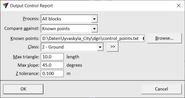
This opens the Output Control Report dialog:
3. Define settings and click OK.
This calculates the elevation differences and opens the Control report window. The content of the report depends on the source file used for the comparison, ground control points in a text file or a surface model. The results and the further usage of a comparison with ground control points is described in detail in Section Systematic elevation correction.
SETTING |
EFFECT |
|---|---|
Process |
Blocks to include in the process: All blocks or Selected blocks. |
Compare against |
Source file for elevation value comparison: •Known points - text file that contains coordinates of ground control points. •<surface model> - name of a specific surface model active in TerraModeler. |
Known points |
Location and name of the file that stores the coordinates of the ground control points. This is active only if Compare against is set to Known points. |
Class |
Point class(es) used for the elevation value comparison. |
|
Opens the Select classes dialog which contains the list of active classes in TerraScan. You can select multiple source classes from the list that are then used in the Class field. |
Max triangle |
Maximum length of a triangle edge. The software creates a triangle from the closest 3 laser points around a ground control point location. If the triangle edge length exceeds the given value, the control point is not used for the report. |
Max slope |
Maximum terrain slope for which an elevation difference is computed. |
Z tolerance |
Normal elevation variation (noise level) of laser points. This value is used only when computing the terrain slope so that small triangles do not exceed the Max slope value. |
