

TerraScan User Guide
Merge Footprint Polygons
 Merge Footprint Polygons tool can be used to merge several polygons that form a single building footprint into one polygon. A typical example is that the main building and balconies or other small building extensions are outlined by separate polygons. In order to create a 3D vector model of the building including these extensions, there must be one single footprint polygon.
The polygons to be merged must share at least one edge. The larger polygon is considered as the 'main footprint'. Smaller polygons are merged to the main footprint. The polygons may be drawn on different CAD file levels but the main footprints for all buildings should be on one level.
To merge footprint polygons:
1. Select the footprint polygons. Polygons of several buildings may be selected.
2. Select Merge Footprint Polygons tool.
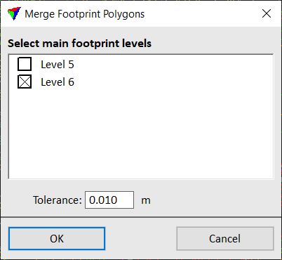
This opens the Merge Footprint Polygons dialog:
3. Define settings and click OK.
This creates a new polygon for each building footprint by merging smaller polygons to the main footprint. The polygon is drawn on the active level using the active symbology settings of the CAD file.
SETTING |
EFFECT |
|---|---|
Select main footprint levels |
Determines the CAD file level on which the main footprint polygons are drawn. |
Tolerance |
Maximum distance limit by which the shared edge(s) of the main footprint polygon and the extension polygons may differ in location. If the distance is smaller, the edge is still considered as shared and polygons are merged. |
You can undo the merging of footprint polygons by using the Undo command of the CAD platform.