

TerraModeler User Guide
Export / Xyz text file
Xyz text file command creates a text file from surface model points. The points can be written into a simple text file where the easting, northing, and elevation coordinates of each point are stored in one line, or into survey application-specific text files. Supported text file formats are Geodimeter, Gemini, Tekla fixed length and Tekla space delimited, Wild GRE, Wild COGO, and XYZ Text.
To create a text file from surface model points
1. Select a surface in the Surfaces window.
2. Select Xyz text file command from the File / Export menu.
The Export Xyz dialog opens:
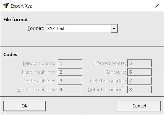
3. Select a Format for the output file.
4. If another format than XYZ Text is selected, define additional settings.
5. Click OK.
This opens the File for point output dialog, a standard dialog for saving files.
6. Enter a name for the output file and click OK.
This creates the output file.
Setting |
Effect |
|---|---|
Format |
Format of the output file. |
Tekla |
Order of fields in Tekla text files. This is only active when Format is set to Tekla fixed length or Tekla space delimited. |
Codes |
Feature codes for different surface point types in the output file. This is active for all Format except XYZ Text. |