

TerraMatch User Guide
Transform tie lines
Transform tie lines command is used to transform the coordinates of tie lines. The transformation must be defined in Coordinate transformations category in the TerraScan Settings.
To transform tie lines:
1. Select Transform tie lines command from the Tools pulldown menu.
This opens the Transform Tie Lines dialog:
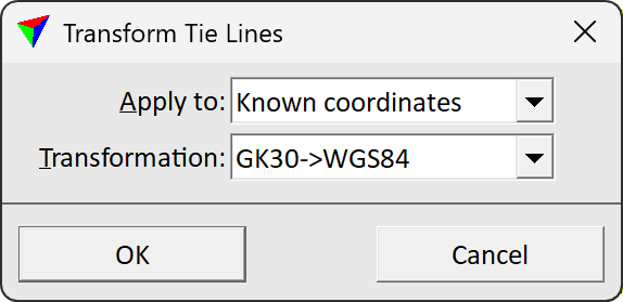
2. Define settings and click OK.
This transforms the tie lines to the new projection system. You may save the transformed tie lines into a new file.
Setting |
Effect |
|---|---|
Apply to |
Data to transform: •Known coordinates - transforms known point coordinate values (= values given by some other survey method). •Laser positions - transforms observation coordinate values (= values extracted from laser data). •Both - transforms known coordinates and laser positions. |
Transformation |
Name of the transformation to be applied. The name is defined in Coordinate transformations category of TerraScan Settings. |