

TerraPhoto User Guide
Load from TerraScan
Load from TerraScan command references points loaded in TerraScan and uses them as a ground model for rectifying the images.
To reference points from TerraScan:
1. Select Load from TerraScan command from the Points pulldown menu.
This opens the Select ground classes dialog displaying active point classes in TerraScan:
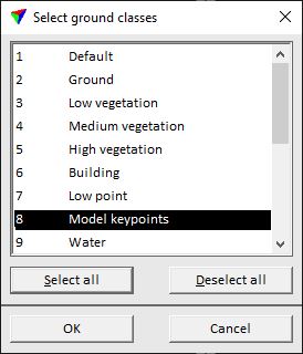
2. Select the class(es) which form the rectification surface.
3. Click OK.
The application reports how many points it references in TerraScan tables.